Map Quiz
There will be an in-class map quiz on Monday, September 18.
You should be able to locate all of the following items on an unlabelled map of the US that shows some rivers and state outlines, but nothing else. There’s an example of what that looks like on the website (http://benschmidt.org/US2017) under Assignments. These places are easily found in any atlas or online. There should not be ambiguity about the place meant.
The quiz will select 20 of these randomly and ask you to identify them.
Cities
Identify with a dot in their precise location and a label adjacent.
- Boston
- Jamestown
- Chicago
- Santa Fe
- Quebec City
- Washington DC
- Philadelphia
- New York
- Chicago
- St. Louis
- Los Angeles
- San Francisco
- Detroit
- Houston
- Selma (Alabama)
- Wilmington (North Carolina)
- Fort Sumter
States, etc.
Identify by shading in or drawing an outline around and labelling.
- California
- Colorado
- Texas
- New York
- Florida
- Puerto Rico
- Massachusetts
- Georgia
- Arizona
- Cuba
Rivers and mountains
Identify by writing the name on top of the feature and using arrows to indcate extent, if necessary.
- Ohio
- Mississippi
- Missouri
- Columbia
- Hudson
- Colorado
- Appalachians
- Rockies
Geographic Regions
Identify by drawing a line around the region. For the confederacy and the colonies, you should follow the contemporary state borders precisely; for the others, a rough sketch is appropriate.
- Dust Bowl (1930s)
- Black Belt
- The 11 states of the confederacy (1861-1865) (Using contemporary state borders)
- The 13 Colonies (using contemporary state borders; Maine and Vermont, which weren’t colonies but were part of the territory, can be included or not)
- Mexican Territory Before 1848 (Use rivers and state borders; this does not need to be completely precise, since it cuts some states in half. Not including territory annexed with Texas in the 1830s).
- Cherokee Land, 1830 and 1840.
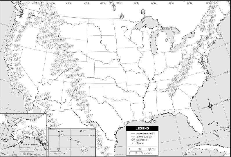
Example of the map to be used